

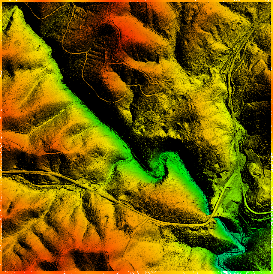
LIDAR:
In the project’s early stages, I was intrigued by the potential of LIDAR data. This technology offered a way to capture the Shenandoah area with precision, providing a solid foundation upon which to build the digital environment. Based on Gnomen’s course Creating Terrains With Satellite Data, I became familiar with GlobalMapper, GIS software that offers a comprehensive set of spatial data tools.

ZBrush – The Early Companion:
Initially, I used the digital artists sculpting tool ZBrush in tandem with GlobalMapper, particularly in sculpting down the terrain to look more rocky. This powerful software allowed me to sculpt and refine the environment, adding intricate details, especially with the help of the Orb Brush Pack.

The Shift to Reality Capture:
As I progressed, I recognized the growing potential of photogrammetry. I began exploring Reality Capture and DSLR photography after obtaining the necessary processing power. This tool offered a new dimension of realism, enabling me to capture the Shenandoah natural bridge with even greater detail and authenticity. I committed to continuous learning and adaptation, ensuring I always utilized the best and most relevant tools.

Houdini and Proceduralism:
Equally important to photogrammetry was the growing importance of procedural modeling. With each new update of the Unreal Engine, the industry seems to be moving in this direction, and I have used Houdini Indie with it’s Unreal Plugin in several regards with this project, mostly with vegetation and leaf clusters, bushes, and a procedural footbridge used in one setting.
