

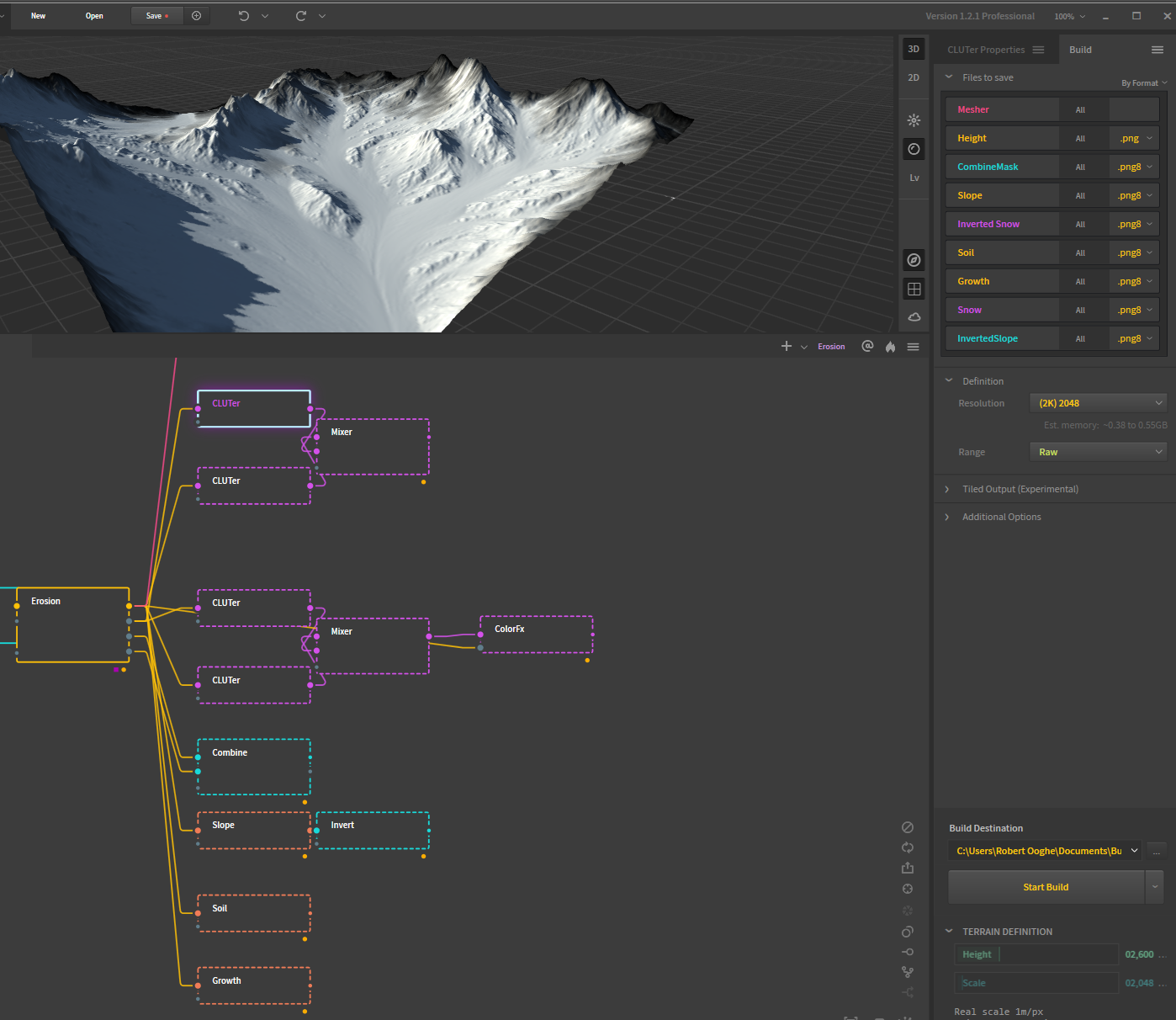
Another important tool that helped me with this project was QuadSpinner’s Gaea software, which I highly recommend. This procedural terrain tool was hands down one of my favorite experiences with this project. It’s a necessary bridge between GlobalMapper and the Unreal landscape tool, the functionality in Unreal which creates the bulk of the 1.5km by 1.5km game space from imported the heightmap. GAEA is able to take the height maps, and has a node based library of functions to procedurally reshape and mask the terrain in any way you like, so that you can output information crucial in texturing an organic look to the landscape.
Various filter effects can be used on the imported heightmap to simulate various geophysical processes, and the effect they would have on the terrain. This could mean processes that reshape the heightmap itself, simulating either erosional or hydrophysical forces, or it could mean creating new masks or color imagery that display where trees and vegetation might lie, or where soil and riverbeds would form.

When new heightmaps become masks, they can be used in Unreal to delineate different materials to put over the landscape, such as grass, soil, rock and riverbed. While there are ways within Unreal to automatically create some of these terrain features procedurally, the ability to have Gaea export masks goes a long way in achieving surface level realism.
One useful feature of GAEA allows me to overlay the treeline of cloud points and create a mask from that, so that Unreal can know where realworld trees would and wouldn’t be, when I come to a later point in the project and instantiate trees.