

GlobalMapper became my go-to for geospatial data processing. It allowed me to extract heightmap data from satellite imagery, ensuring that the Shenandoah digital environment was grounded in real-world topography.
I want to be clear that I don’t really recommend GlobalMapper for this process from the standpoint of genre themed AAA gaming, because it’s an expensive, ungainly tool with limited support. However, if you’re a geographer, surveyer or researcher, it is ideal. There’s another company out there called Cesium that I would probably use if I were to repeat this project, but I haven’t actually tried it yet.
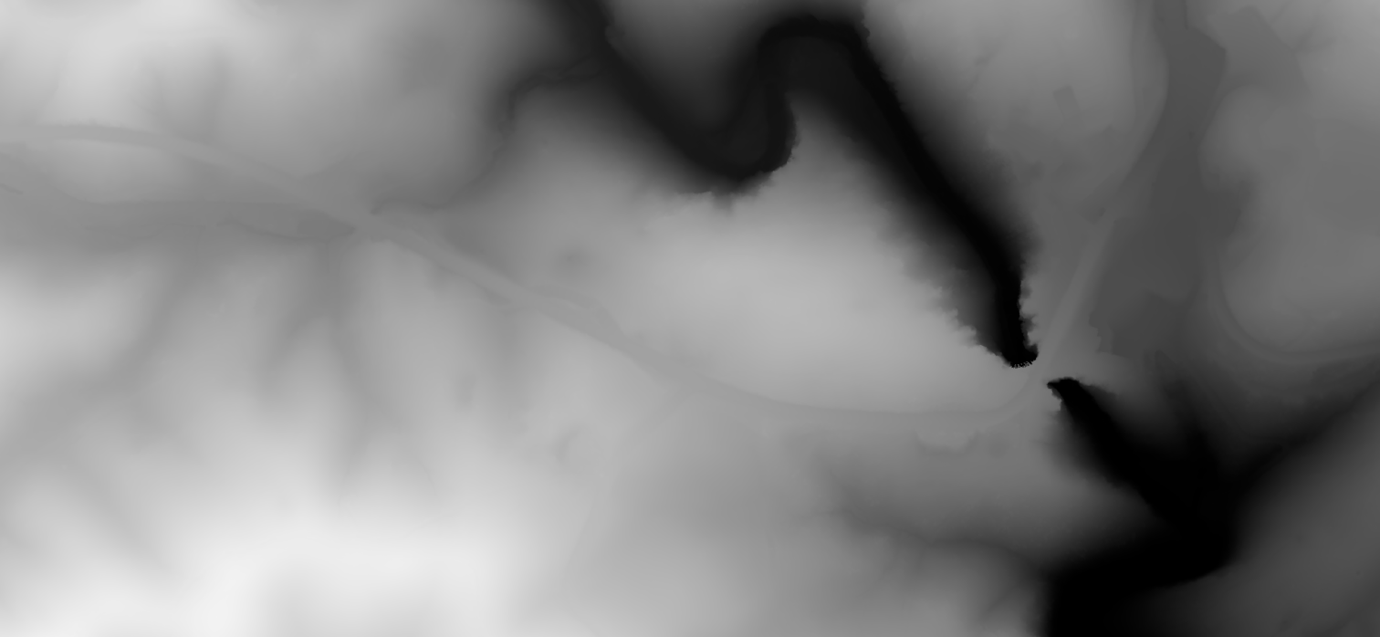
GlobalMapper allows you to import publically available LIDAR point cloud files, which I did for this particular part of Virginia. You then can chart out the area you need, and in my case I wanted a 1.5km by 1.5km section that was just big enough to capture the trail along Cedar Creek that visitors to the Shenandoah Natural Bridge use to go underneath the bridge, past the Monacan Village, past the Saltpeter Cave and up towards the waterfall and back.

The two elements I’d needed to export from GlobalMapper were the FBX objects, meaning actual mesh objects I could import and sculpt with in Zbrush, and 2d sets of data to be used as heightmaps with Unreal’s landscape tool.

This exercise taught me a great deal about working with layers of point cloud data, which are classified by various GIS organizations into layers. Because LIDAR contains extraneous information about trees and foliage (unusable for our purposes), I learned how to filter that out and create bare terrain what would be usable by Unreal, and I learned how to scale the level of detail I wanted to get as much specificity as possible.

It was this landscape in Unreal that I would be integrating the Natural Bridge, and later caves and waterfalls into.